
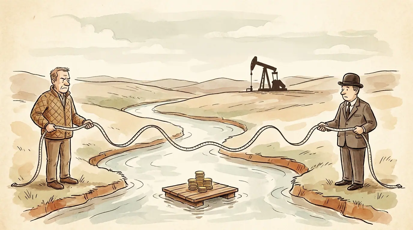
Along the banks of Lake Sakakawea and the Missouri River in core Bakken counties like McKenzie, Mountrail, Dunn, and Williams, mineral owners regularly face a specific and persistent title issue. Wells are drilled, production figures reported to the state are prolific, and the operator sends division orders to neighbors two miles inland. Yet, for tracts touching the water, the royalty payments do not arrive. Instead, the money sits indefinitely in suspense.
This impasse stems from a decades-long boundary dispute between private riparian landowners and the State of North Dakota. At issue is where state-owned sovereign riverbed land ends and private mineral ownership begins.
Even after legislative action through North Dakota Century Code (NDCC) Chapter 61-33.1 and protracted litigation involving the Board of University and School Lands, operators continue to hold revenue in suspense. Overlapping title opinions, survey adjustments, and unresolved curative requirements leave private owners waiting for accumulated royalty payments.
Understanding the mechanics of this dispute helps clarify the boundary lines, the survey findings, and the steps required to resolve suspended funds.
The origin of the riverbed title split
Under the equal footing doctrine, North Dakota acquired title to the beds of navigable waters up to the :ordinary high water mark upon statehood in 1889. N.D.C.C. § 61-33-01 confirms that the state manages these sovereign lands, encompassing the beds and islands lying within the ordinary high water mark of navigable rivers and lakes.
Private owners along the river owned the upland parcels down to that historical boundary line. For decades, this boundary was an active, winding river channel.
The physical reality changed in 1953 with the construction of the Garrison Dam by the U.S. Army Corps of Engineers. The impounded Missouri River expanded, creating Lake Sakakawea and permanently flooding hundreds of thousands of acres of private upland farm and ranch ground.
When modern horizontal drilling unlocked the Bakken and Three Forks formations beneath the reservoir, acreage valuation rose rapidly. A severe legal conflict surfaced regarding which water mark defined the state’s sovereign mineral boundary:
- The historical, pre-dam ordinary high water mark of the natural Missouri River channel, or
- The modern, post-dam lake water level, which flooded private land and pushed the shoreline significantly outward into private ranches.
For years, the North Dakota Department of Trust Lands (the Land Board) asserted ownership up to the higher, post-dam water lines. Under that theory, whenever the federal reservoir inundated private upland property, the state claimed mineral title under the newly expanded waters. Private owners argued that flooding their surface did not surrender their underlying mineral estate to the state.
Because both the Land Board and private landowners issued competing leases over the disputed strips of land between the old riverbed and the reservoir shore, operators faced conflicting title claims. Rather than risking double payment, operators placed the royalty proceeds into suspense accounts.
A sequential overview of how historic flooding led to modern operator suspense accounts.
Legislative intervention: NDCC § 61-33.1 and survey reviews
To establish a statutory standard for the boundary dispute, the North Dakota Legislative Assembly enacted Senate Bill 2134 during the 2017 session, codified at NDCC Chapter 61-33.1.
The statute established that state sovereign mineral ownership along the inundated section of the Missouri River is limited to the riverbed delineated by the historical, pre-dam ordinary high water mark. Lands flooded solely by the closure of the Garrison Dam were explicitly excluded from the state’s sovereign claim, preserving private mineral rights under the flooded uplands.
To put this standard into practice, the state mandated an engineering review of historical aerial imagery, surveys, and flow data to delineate the pre-dam riverbed. As detailed by the North Dakota Department of Trust Lands, engineering firms including Bartlett & West and Wenck Associates conducted ordinary high water mark delineation studies across designated reaches:
- Task Orders 1 & 3: The Missouri and Yellowstone Rivers from the Montana border to the Highway 85 Bridge near Williston.
- Task Order 2: The Missouri River segment extending from the Furlong Loop down to New Town.
- Task Order 4: The segment from New Town downstream to the Garrison Dam.
The final engineering reports produced signed survey plats, geographic information system shapefiles, and acreage adjustment map books for townships covering Lake Sakakawea.
These surveys produced specific lines of delineation. Where a tract fell entirely outside the pre-dam ordinary high water mark, the Land Board’s sovereign title claim receded. Where a tract sat partially inside the pre-dam riverbed channel, the acreage required apportionment between state and private ownership.
Why royalties remain suspended
Given the statutory clarity in NDCC § 61-33.1 and the completion of official delineation surveys, owners often wonder why operators still hold their money. We covered the broad mechanics of paused revenue in why did my royalty check stop while the well is still producing?, but riverbed parcels present specific technical complications.
Operators do not automatically release funds when a public study is published. Before paying out accumulated funds, an operator’s title division must confirm that every legal and survey requirement is cleared on their specific drilling spacing unit. Several issues frequently prevent immediate payout:
1. Tract-specific title opinion discrepancies
The division orders controlling oil revenue originate from drilling title opinions and division order title opinions drafted by private law firms. If a title attorney examined the original title before the engineering surveys were incorporated into county records, that title opinion flags a cloud on title. Until an examining attorney issues a supplemental title opinion confirming that the tract’s legal description matches the official delineation boundary, the operator leaves the royalty in suspense.
2. Conflicting leases on the same net acreage
During the height of leasing activity, the Land Board leased tracts out to exploration companies under its broad assertion of sovereign rights. Simultaneously, private families leased their own deeded acreage covering the identical tract to different lessees. An operator now operating that pooled unit must reconcile who held valid title during each production month, calculate whether bonus payments or past royalties were paid to the state in error, and obtain cross-conveyances or releases.
3. Escrow reimbursement and accounting reviews
NDCC § 61-33.1 outlined procedures for reimbursing funds improperly paid to the state. If an operator previously paid royalties to the Department of Trust Lands that rightfully belonged to an upland owner, that capital must be accounted for and returned through the state before the operator releases the balance to the owner.
- Review tract location relative to OHWM
- Entirely upland of pre-dam OHWMClear private title
- Submit Land Board confirmation & release suspense
- Overlaps pre-dam channelSplit ownership
- Title curative required to establish net decimal split
Release of funds depends on tract boundary alignment with historical survey lines.
Steps to resolve suspended funds on riverbed tracts
For owners with interests in McKenzie, Williams, Mountrail, or Dunn counties where production sits impounded, clearing title is a structured process.
Step 1: Confirm the unit description and survey plat
Review your legal description, including township, range, section, and government lot numbers. Cross-reference your legal description against the Department of Trust Lands Acreage Adjustment Map Book and the signed survey plats for your section. Determine whether your tract:
- Sits entirely upland from the pre-dam ordinary high water mark, or
- Crosses the line, which makes it subject to a proportional acreage split with the state.
Step 2: Request the title curative requirements
Write directly to the operator’s division order or title department. Request the specific title requirement number from the Division Order Title Opinion that is currently keeping the account in :suspense. This requirement details what documents the operator’s attorneys require before distributing funds.
Step 3: Clear competing state leases
If the Department of Trust Lands previously issued an overlapping oil and gas lease on your acreage, request formal clearance or documentation from the department confirming that the acreage has been adjusted and relinquished under NDCC § 61-33.1. Operators require written verification that the state asserts no adverse claim on that specific government lot.
Step 4: Submit a revised division order
Once the title requirements are met, the operator issues an amended division order reflecting your corrected net revenue interest. As explained in our guide on how to calculate your horizontal royalty decimal using state plat maps, your decimal interest depends directly on your confirmed net mineral acreage divided by the total spacing unit size, multiplied by your lease royalty rate.
Under North Dakota law, statutory interest can apply when proceeds are held outside legal authorization, as outlined in North Dakota Century Code Title 47 Chapter 16, which governs oil and gas leasing and timely royalty payments. For general principles on how late payment provisions operate across the state, see our overview on the 18% payday: how North Dakota’s suspense statute turns late royalties into high-interest debt. However, operators generally claim that a genuine dispute over title exempts them from statutory interest while the boundary status remains unresolved.
The financial trade: holding complicated acreage versus selling
Navigating riverbed title issues requires administrative effort and patience. For families who inherited these interests decades ago, seeing royalty revenue trapped in an operator’s escrow account can be frustrating.
When addressing these tracts, owners often balance two paths:
- Capital timingDelayed until title opinions clearKnown cash amount paid at closing
- Curative burdenBorne by the owner and attorneysTransferred to buyer to clear
- Ongoing risksDecline rates, oil prices, title delaysNone; all future operational risk transferred
Comparison of resolving title requirements directly versus selling the underlying interest.
Selling minerals does not mean an owner was wrong to hold them in the past. It simply represents a different financial approach. Holding an interest along Lake Sakakawea means accepting commodity price swings, normal well production declines, and title delays.
Consider a hypothetical interest that has accumulated $40,000 in suspended royalties over several years while production from the initial wells has started to level off. If an owner resolves the title themselves, they may eventually receive that $40,000 lump sum, after which their ongoing monthly checks will reflect the natural decline curve of older Bakken wells.
If that same owner evaluates a purchase offer of $110,000 for the tract—inclusive of the suspended funds and future production—they are evaluating whether receiving that capital today is preferable to waiting for the operator’s title department to finish its review, while retaining the risk of lower commodity prices later.
Furthermore, selling does not have to be an all-or-nothing choice. Some owners choose to sell a portion of their interest to secure capital today while retaining the remainder for future upside. We discussed this balance in our guide on should I sell all or just part of my mineral rights?.
Generic price-per-acre rules of thumb do not work along the Missouri River corridor. Two tracts located within the same township can carry different values based on where they sit relative to the ordinary high water mark, the history of competing leases, and the operator involved.
A purchase offer or valuation provides a concrete number to evaluate against the reality of holding the property. Knowing that valuation helps an owner decide whether to invest the effort required to clear title or transfer the curative burden and market risks to an active buyer.
:ordinary-high-water-mark
The line along the bank of a navigable body of water established by the continuous force and presence of the water over time, used in law to define the boundary between the sovereign waterbed owned by the state and adjacent private upland property.
:suspense
A holding status used by oil and gas operators where royalty payments are accumulated internally rather than disbursed to the mineral owner, typically triggered by a cloud on title, unprobated heirship, or a boundary dispute.